Introduction 3D laser scanning is transforming industries with its ability to capture high-resolution 3D data in real time. From infrastructure and architecture to environmental analysis and urban planning, this powerful technology is being adopted across a wide range of applications.
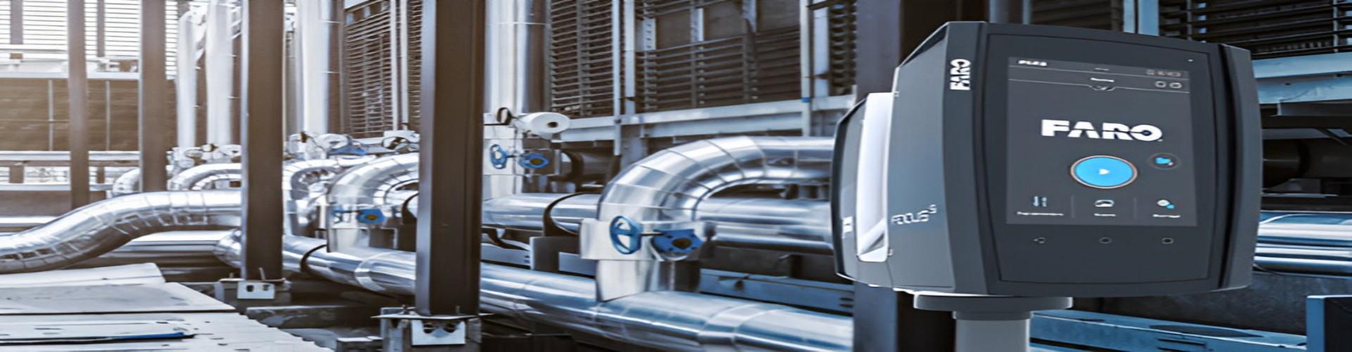
3D laser scanning is an advanced technology that uses LiDAR (Light Detection and Ranging) to capture precise measurements of objects and environments. By emitting 3D laser pulses that bounce off surfaces, it calculates distances and creates accurate 3D models or point clouds. This method is widely used in construction, architecture, engineering, and manufacturing for tasks like as-built documentation, design planning, and quality control, offering speed, accuracy, and reduced human error in data collection.
This method can be mounted on drones, vehicles, or tripods for different applications.
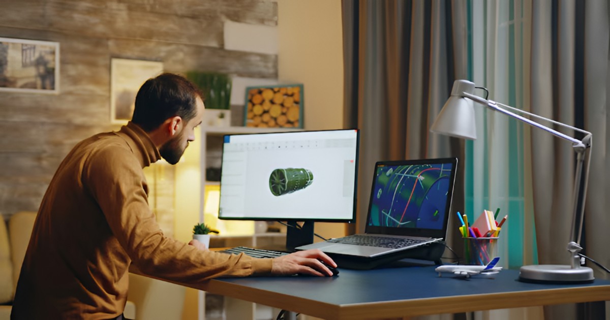
These point clouds form the basis of highly detailed digital maps and models.
3D laser scanning is used in a wide variety of industries, including:
In the middle of all these sectors, 3D laser scanning plays a critical role in improving data accuracy and operational efficiency.
RA Global Tech Solutions, located in Malad West, Mumbai, offers state-of-the-art 3D laser scanning services across multiple industries. Their expert team leverages the latest scanning equipment and software to deliver precise, timely, and actionable data.
Whether it's a construction site in Mumbai or a forest survey in another state, RA Global ensures top-tier service.
India’s smart city mission is opening up new opportunities for 3D laser scanning. Urban infrastructure planning, utility mapping, and traffic management can all benefit from high-resolution 3D data. RA Global Tech Solutions is contributing to this mission by supporting government and private projects with their cutting-edge laser technology.
As technology progresses, 3D laser scanning is expected to become more affordable and compact. Integration with AI and machine learning will allow better feature detection, object classification, and predictive analytics.
Upcoming trends include:
3D laser scanning is a powerful tool that supports faster, safer, and more precise data collection across various industries. From construction and mining to smart city planning and environmental monitoring, the benefits of this technology are immense. RA Global Tech Solutions in Mumbai offers professional 3D laser scanning services designed to deliver accurate results tailored to specific project needs. If you are seeking reliable 3D laser scanning support, RA Global Tech Solutions is ready to assist with the right tools and expertise.
© 2026 RA Global Tech Solutions
Site design and developed by Rajkar Global