
3D Scanning Survey
What is a 3D scanning survey?
3D scanning survey is a digital measurement process that captures the precise three-dimensional geometry of physical objects, buildings, or environments using advanced scanning technologies. It produces a highly detailed point cloud that represents shapes, dimensions, and spatial relationships with accuracy. This data is then converted into usable outputs such as 2D drawings and 3D models for further analysis and design.
Any place, including industrial facilities, construction sites, excavation pits, monuments, heritage preservation, architecture, manufacturing plants, ships, or anything that has to be digitized in a short time can be captured with the help of our 3D laser scanning services. It speeds up and simplifies surveying and digitizing a construction site.
Key Aspects of 3D scanning survey:
- Accuracy: getting exact measurements and details of objects or sites
- Data Collection: involves gathering point cloud data that shows the physical features of the object or site
- Non-Invasive: refers to collecting information without touching the object or site, which helps keep things undisturbed
- Speed: It is about quickly gathering data, which saves time and money compared to older methods
- Digital Documentation: creates a lasting digital record of the object or site
- Versatility: This method can be used in many fields like construction, engineering, architecture, and preserving heritage sites
- Data Analysis: uses special software to process, examine, and present the collected data
A 3D scanning survey captures precise physical dimensions and details of objects, buildings, or sites using advanced technology. It collects accurate data without physical contact, creating a digital twin for various applications like architecture, engineering, and heritage preservation. This method offers speed, accuracy, and versatility, enabling efficient data analysis and visualization for informed decision-making.
Why is a 3D scanning survey important?
3D scanning surveys are important because they improve accuracy by capturing precise measurements and details, reducing errors. They also save time and costs by enabling rapid data collection and minimizing site visits. Additionally, digital models facilitate collaboration among stakeholders, while permanent digital records support long-term planning and analysis. Overall, 3D scanning surveys provide valuable data for detailed analysis, simulation, and informed decision-making.
What are the common challenges in 3D scanning surveys?
3D scanning surveys can be challenging due to issues like data noise and errors, complexity of scenes, occlusions, reflective or transparent surfaces, and difficulties in data processing and analysis. Additionally, registering and aligning multiple 3D scans can be tricky, and environmental conditions like weather and lighting can impact data quality. Despite these challenges, careful planning, expertise, and the right equipment can help overcome them and ensure accurate results.
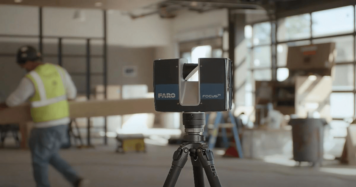
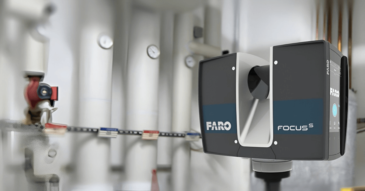
3D laser scanners utilize a non-contact measurement technique, employing laser beams to capture precise distances to surfaces. This method creates a digital replica of the object without physically touching it, ensuring no damage or alteration. The 3D scanner emits millions of laser pulses per second, measuring the time-of-flight for each pulse to bounce back. This data is then used to calculate the XYZ coordinates of each point, compiling them into a comprehensive point cloud. 3D laser scanning technology can achieve remarkable accuracy, often down to the millimeter level, and captures intricate details of the scanned object or environment. This level of precision enables the creation of highly detailed digital models, suitable for a wide range of applications.
Related Services
- 3D Modeling: Develop detailed and accurate 3D digital models from scanned data for design, visualization, and documentation purposes.
- CAD Design and 2D Drafting: Create precise 3D computer-aided design (CAD) drawings and models for product development, manufacturing, and engineering analysis.
- Reverse Engineering: Reconstruct existing parts or assemblies into editable 3D CAD models using advanced scanning and modeling techniques, enabling redesign, optimization, or replication.
- 3D Printing: Convert digital 3D models into physical prototypes or components for rapid testing, validation, and production.
- Surveying and Mapping: Leverage 3D laser scanning and geospatial technologies to capture accurate topographical data for infrastructure, construction, and land development projects.
These services can be applied to various industries, including architecture, engineering, construction, manufacturing, and more.
The Process
- Planning and Preparation: Define the project scope, objectives, and data accuracy requirements. Our team identifies scanning areas, selects suitable equipment, and ensures site readiness for a safe and efficient survey.
- Data Collection: Utilize advanced 3D laser scanners to capture millions of data points, generating a high-resolution point cloud that represents the exact geometry of the site or object.
- Data Processing: Align and register multiple scans into a unified dataset. The data is filtered, cleaned, and refined to remove noise and distortions, ensuring a solid foundation for further analysis or modeling.
- Data Analysis and Modeling: Extract precise measurements, dimensions, and features from the processed data. Create detailed 3D models, 2D drawings, and as-built documentation as per client requirements.
- Deliverables: Provide final deliverables such as 3D point clouds, CAD models, BIM models, topographic maps, or detailed reports, formatted to meet the specific needs of each project.
Our process is adaptable to varying project needs, accommodating different levels of detail, accuracy standards, and applications such as construction analysis, industrial surveys, heritage mapping, or infrastructure planning.
What are the applications of 3D scanning surveys across various industries?
3D scanning surveys have diverse applications across industries, including
- Architecture, Engineering, and Construction: As-built documentation, design validation, clash detection, and site planning. The data is used to create accurate as-built documentation, Building Information Modeling (BIM) models, and virtual tours. This helps architects, engineers, and contractors to plan, design, and execute construction projects more efficiently.
- Industrial and Manufacturing: Facility layout planning, equipment inspection, digital twin creation, and workflow optimization.
- Oil, Gas, and Petrochemical: Plant revamps, pipeline surveying, shutdown planning, and maintenance.
- Infrastructure and Transportation: Road, bridge, and tunnel documentation, railway and metro projects, and urban development.
- Power and Energy: Thermal and nuclear facility modeling, renewable energy projects, maintenance, and inspection.
- Heritage and Cultural Preservation: Historic site documentation, reconstruction, and virtual preservation.
- Real Estate and Land Development: Topographic mapping, property surveys, and virtual walkthroughs.
- Mining and Geospatial Applications: Volume calculations, terrain mapping, and safety analysis.
Why Choose RA Global?
At RA GlobalTech Solutions, our experienced team brings deep industry expertise in sectors such as construction, manufacturing, oil and gas, and heritage preservation, providing customized solutions tailored to each client's needs. We offer comprehensive services, including 3D scanning, 3D reverse engineering, 3D modeling, and as-built documentation, ensuring end-to-end support for any project. Known for our accuracy, quick turnaround, and client-focused approach
- Advanced Technology: We utilize cutting-edge laser scanners and structured light scanning technology to deliver precise and reliable survey data.
- Industry Expertise: With years of experience, we provide high-quality services tailored to various industries, including construction, manufacturing, and heritage preservation.
- Comprehensive Services: We offer 3D scanning, 3D reverse engineering, 3D modeling, and as-built documentation, catering to diverse client needs.
At RA Global Tech Solutions, we provide quick and quality 3D surveying. Contact us today for your 3D laser scanning requirements.
Frequently Asked Questions
What is a 3D scanning survey?
It captures detailed spatial data of sites, structures, or equipment, producing accurate point clouds and models for design, analysis, and documentation.
Why use RA Global for 3D scanning surveys?
We combine advanced laser scanners, skilled teams, and industry expertise to deliver precise, reliable survey data quickly and cost‑effectively.
Which projects benefit from scanning surveys?
Construction, plant engineering, heritage preservation, and industrial facility projects use scanning surveys for accurate as-built records and design validation.
Can you scan complex sites or interiors?
Yes! We handle challenging environments, confined spaces, and complex geometries, ensuring comprehensive data capture for all types of projects.
What deliverables do you provide?
We deliver point clouds, mesh files, 2D drawings, and 3D CAD or BIM models, tailored to your design, planning, and documentation workflows.